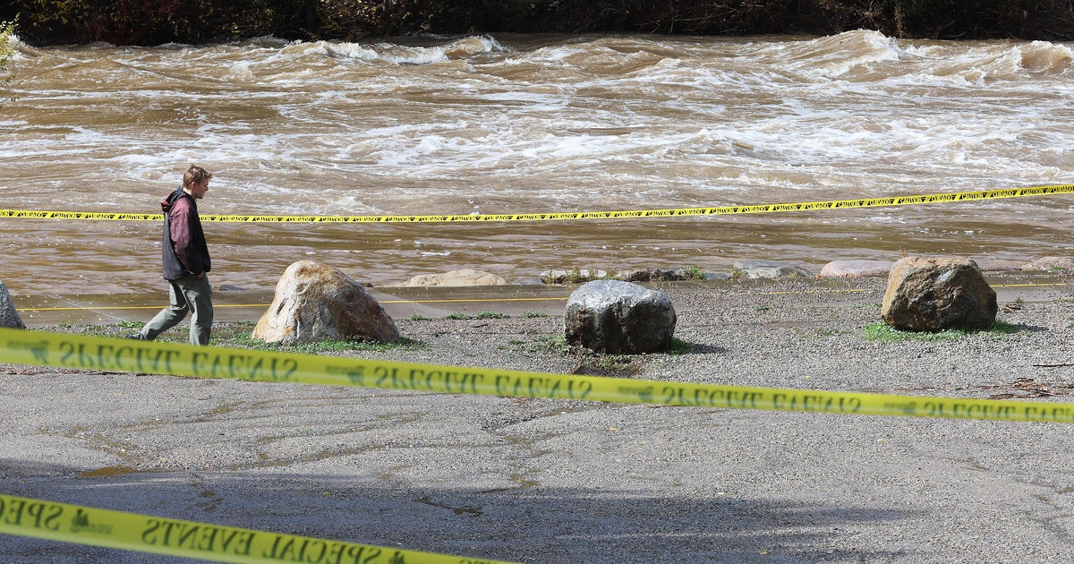
The National Weather Service issued a flood watch for much of the Four Corners region on Sunday, October 25, 2026, following days of heavy rain that triggered evacuations and water rescues across parts of Arizona, Colorado, New Mexico, and Utah. While local officials reported that some rivers had begun to recede from record levels reached earlier in the week, they cautioned that additional showers and thunderstorms forecast for Sunday night could cause further flooding in burn scars, narrow canyons, and small streams.
The weather event follows two months of intermittent heavy rainfall across the Southwest, driven by tropical moisture from the Pacific Ocean following a period of drought. Previous flooding during this period had already affected the Grand Canyon and other parts of New Mexico. In southwest Colorado, the San Juan River reached levels not seen in over a century, surpassing a flood from the previous year that officials had classified as a 100-year event.
Emergency responders in San Juan County, New Mexico, conducted at least 200 rescues after rains intensified on Wednesday, October 21, and flooding peaked on Thursday and Friday. These operations included 11 hoist missions by the New Mexico National Guard, with helicopters transporting up to eight people at a time. San Juan County spokesperson Devin Neeley stated that while a specific count of evacuated homes was not available, no loss of life had been reported as of Sunday.
Significant infrastructure damage was reported throughout the region. The San Juan River Bridge remained closed on Sunday, and a 2-mile stretch of U.S. Highway 64 was shut down near Shiprock on the Navajo Nation. In Pagosa Springs, Colorado, video footage showed homes inundated by water that moved sandbags and reached chimney levels. In San Juan County, New Mexico, Sheriff Shane Ferrari reported that his own home was flooded with approximately 4 feet of water.
The flooding has directly affected approximately 2,000 residents in and around Farmington, New Mexico. In San Juan County, officials reported that floodwaters left behind mud and silt contaminated with sewage due to failures at local waste plants. Residents in multiple areas are facing power outages that officials estimate will take several days to resolve.
The environmental impact extends to saturated soils and burn scars, which increases the immediate risk of flash floods from any additional rainfall. In response to the damage, Colorado Governor Jared Polis expanded eligibility for disaster assistance to include Conejos County. Officials have prohibited the use of drones in affected areas to prevent interference with rescue aircraft and have requested that 911 lines be reserved for life-safety emergencies only.
Weather patterns indicate the rain will expand into the central and northern Plains on Sunday night before moving toward the Upper Midwest on Monday, October 26, and Tuesday, October 27. Evacuation orders in New Mexico and Colorado remain in effect until authorities can inspect hazards such as downed power lines and leaking gas lines. The Colorado Department of Transportation continues to monitor road closures, including U.S. 160, while U.S. 550 between Durango and Ouray has recently reopened.