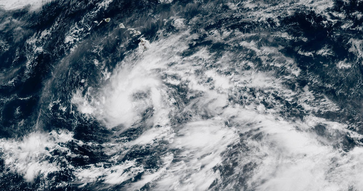
The National Hurricane Center issued a hurricane watch for Hawaii's Big Island on Wednesday, September 23, 2026, as Tropical Storm Nolo moved through the Pacific Ocean. Forecasters expect the system to strengthen into a hurricane by Thursday and potentially reach major hurricane status—defined as Category 3 or higher with winds of at least 111 mph—by the weekend. As of Wednesday evening, the storm maintained maximum sustained winds of 40 mph and was located approximately 300 miles south of the Big Island.
Nolo is the fourth tropical system to affect Hawaii during the 2026 season. It follows Hurricane Lala, which damaged roads and washed away approximately 100 homes in mid-August, and Hurricane Lowell, which caused power outages and road damage on Kauai and Niihau earlier in September. According to a NOAA database, only one other major hurricane, Hurricane Dot in 1959, has tracked within 150 miles of the Big Island in recorded history.
Meteorologists expect Nolo to move west-northwest before making a turn toward the north and north-northeast on Thursday. The timing and sharpness of a subsequent westward bend will determine how close the storm's core gets to the islands. The National Hurricane Center warned that heavy rainfall could reach 15 to 20 inches on the Big Island, with isolated totals up to 35 inches. Maui is forecast to receive 5 to 10 inches, with peaks of 20 inches, while other islands may see 1 to 6 inches.
Residents of the Big Island and Maui County are among those affected by these forecasts, particularly those living in steep terrain prone to landslides. A storm surge of 1 to 3 feet is also likely around the Big Island. The National Hurricane Center stated the rainfall could cause catastrophic and life-threatening flooding and mudslides.
Changes for residents may begin as early as Friday, September 25, when large swells are expected to create dangerous surf and rip currents. Residents may experience power outages and tree damage, with the intensity depending on whether the storm tracks close enough to bring hurricane-force winds to land. Wind gusts are expected to be strongest atop or downwind of mountain slopes.
Mudslides could isolate communities and damage infrastructure. Authorities will monitor the storm's path to determine if the hurricane watch will be upgraded as the system makes its closest approach on Friday or Saturday.