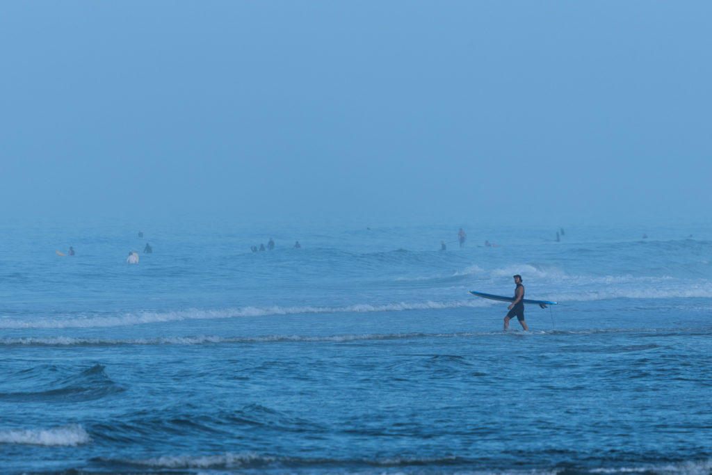
Oceanographers reported that sea levels along the U.S. West Coast are expected to rise by up to one foot as a series of warm-water pulses, known as Kelvin waves, reach the shoreline. These waves, which are typically associated with El Niño climate patterns, move northward along the coast and are projected to continue passing through the region until February. The surge raises the baseline sea level, which experts say can amplify the effects of high tides, storm surges, and large ocean swells.
Kelvin waves form when equatorial trade winds weaken or reverse direction, causing water that usually pools in the western Pacific to move east toward South America. When this water hits the coastline at the equator, it travels north and south along the American coasts. Unlike tsunamis, Kelvin waves are not visible to the naked eye and do not crash on the shore; instead, they function as a broad "bulge" of water approximately 12 to 20 miles wide and 200 meters deep.
In response to the current El Niño, California Governor Gavin Newsom (D) declared a state of emergency in late September to accelerate community protection and resource staging. Local authorities in Orange County, California, have begun placing emergency sand on beaches to mitigate erosion, as the surge could increase water levels by 6 to 12 inches. Michael Jacox, a National Oceanic and Atmospheric Administration (NOAA) researcher, noted that while the waves do not cause flooding on their own, they increase the impact of other weather events.
The arrival of these Kelvin waves affects residents, property owners, and local governments in coastal communities across California, Oregon, and Washington. For homeowners in areas like San Clemente, California, where erosion is already a factor, the waves increase the risk of property damage by removing protective beach sand. Officials in Orange County reported that recent swells have already threatened seaside rail lines and damaged oceanfront homes. While the waves themselves are 6 to 12 inches tall, the scale of impact is cumulative; during the major El Niño events of 1982-83, 1997-98, and 2015-16, West Coast beaches experienced their most severe erosion on record.
For the average resident, the most noticeable change will be the increased frequency and severity of coastal flooding during high tides and winter storms through February. A person might see water reaching areas of the shoreline or infrastructure that are typically dry, as the baseline sea level remains elevated by up to a foot. In addition to physical erosion, the waves push cold, nutrient-rich waters deeper into the ocean, which experts state has an impact on the marine life that supports local fishing industries and ecosystems.
The knock-on effects include increased pressure on state and local emergency budgets as they fund sand replenishment and infrastructure reinforcement. The current El Niño is described by Dillon Amaya of North Carolina State University as being on a trajectory to be one of the largest on record. While Washington state authorities said they are ready to respond to disasters, they had not been asked for special preparations as of October 3. The next phase of activity depends on the formation of additional waves; oceanographers have already identified evidence of a third Kelvin wave forming that will likely move up the coast over the next month.