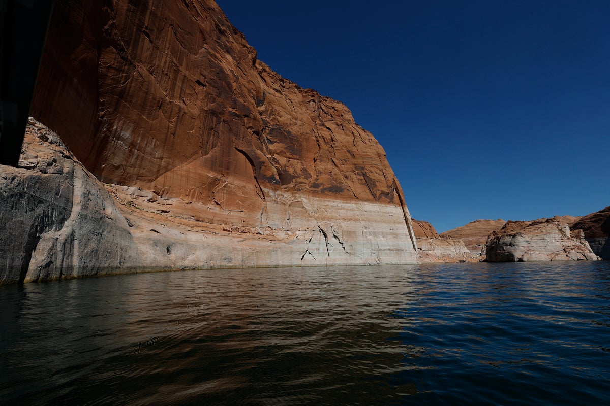
Water levels at Lake Powell, the second-largest reservoir in the United States, reached a record low on Saturday. According to data from the U.S. Bureau of Reclamation (USBR), the reservoir’s elevation fell to 3,519.8 feet by Sunday, dropping below the previous record set in April 2023. The lake, which sits between northern Arizona and southern Utah, has seen its water level decrease by 3.8 feet over the past month.
Lake Mead, the nation’s largest reservoir, also reached a record low of 1,039.83 feet as of Monday. USBR data indicates Lake Mead has lost more than 23 feet in elevation since the start of the year. The agency projects that Lake Mead could fall below 1,110 feet by July 2028, a level nearly 120 feet below its full capacity. Both reservoirs are fed by the Colorado River, which has been in a drought state for more than 25 years.
In response to declining water levels, the Department of the Interior released an Environmental Impact Report last month proposing a new management framework. The plan mandates a water-use reduction of 3 million acre-feet annually through 2036 for the Lower Basin states of Arizona, California, and Nevada. Secretary of the Interior Doug Burgum stated the framework allows for flexibility while states seek "consensus-based solutions." The new rules are intended to replace a 2007 framework that expires this fall.
Arizona Governor Katie Hobbs (D) expressed opposition to the federal proposal, characterizing the mandated cuts as inequitable. Hobbs stated that the plan would force Arizona to take the majority of the reductions, which she argued would impact the state's ability to support the artificial intelligence industry, agriculture, and national defense manufacturing. The USBR maintains that the framework is necessary to respond to changing hydrologic conditions exacerbated by human-driven climate change and heavy use.
On a concrete, day-to-day level, residents in the Lower Basin states—particularly Arizona, California, and Nevada—may see significant changes to their water availability and costs starting this fall when the new framework begins to replace the 2007 rules. The scale of the mandate requires a reduction of 3 million acre-feet of water every year until 2036. For context, one acre-foot is generally considered enough water to supply two to three average households for one year. These reductions could translate into higher utility bills, stricter local water usage ordinances, and potential impacts on the production of food and technology components within these states.
The knock-on effects of these record lows extend to the broader national economy and policy. Governor Hobbs noted that water shortages could affect supply chains for semiconductors and military equipment. The federal government's decision to mandate cuts rather than waiting for a state-led agreement sets a precedent for how the Department of the Interior may manage interstate water disputes in the future. The next critical milestone occurs this fall, when the 2007 framework expires and the new mandatory reductions are scheduled to take effect.