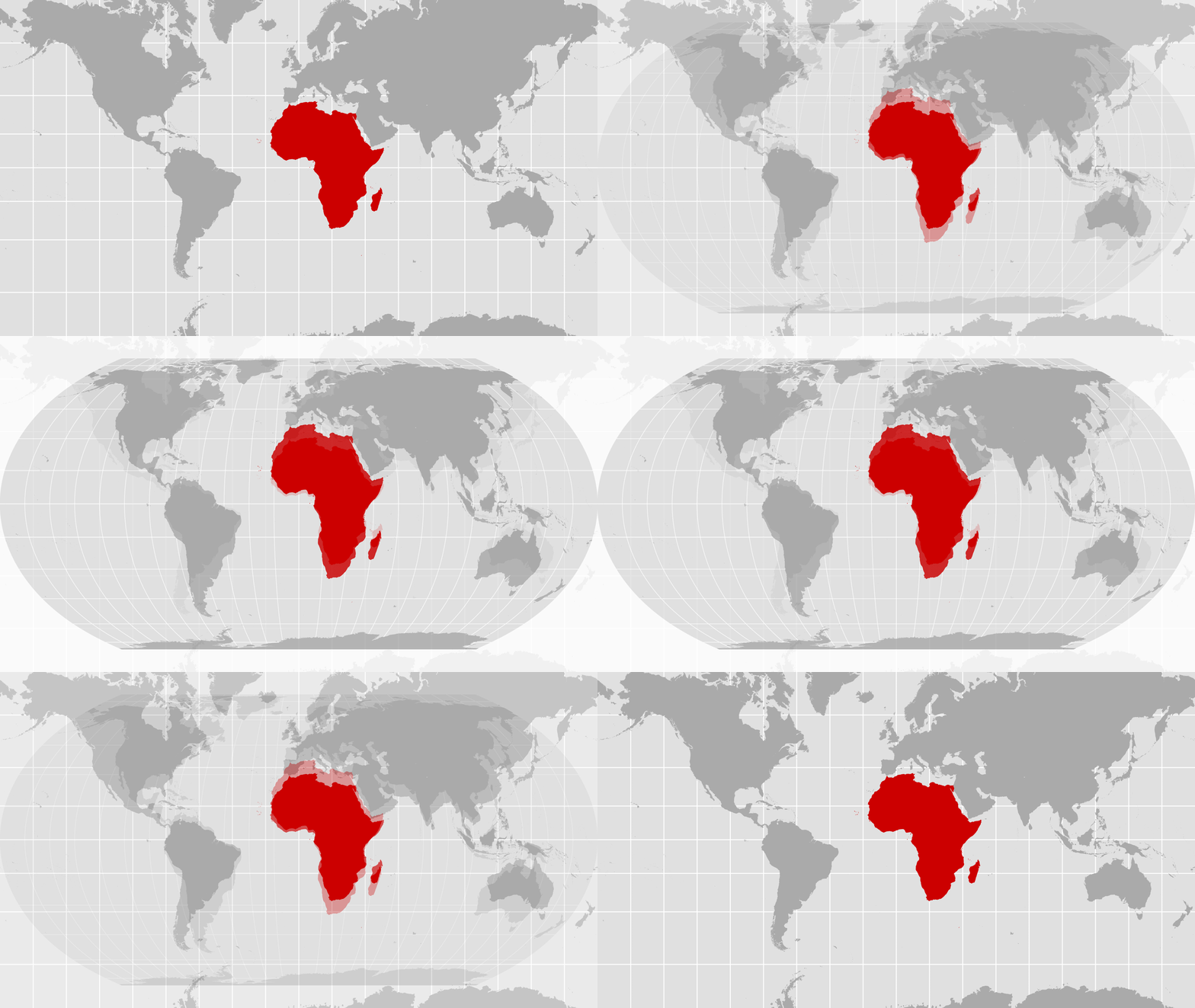
The United Nations General Assembly adopted a resolution on Friday, Sept. 4, 2026, to encourage the use of world maps that more accurately represent the relative size of Africa and other equatorial regions. The "Correct the Map" resolution passed with 164 votes in favor and one against, with the United States as the sole dissenting vote. Six other nations abstained.
The resolution, introduced by Togo on behalf of the 54-member African Group, promotes equal-area projections like the "Equal Earth" projection. This map style, developed in 2018, maintains the proportional size of landmasses, unlike the traditional Mercator projection. The Mercator map, created in 1569 for marine navigation, distorts landmasses as they move away from the equator; for example, it shows Africa and Greenland as roughly the same size despite Africa being 14 times larger.
While the resolution is not legally binding, it calls for governments, schools, international organizations, and technology companies to adopt equal-area maps. Supporters, including Togo's Foreign Minister Robert Dussey, stated that maps influence collective perceptions and that the current distortion underrepresents Africa's geographic reality. Yaryna Ferencevych, deputy U.S. representative to the U.N. Economic and Social Council, opposed the measure, stating in a post-vote explanation that such resolutions promote an "ideological agenda" and distract the institution from more pressing issues.
This resolution affects how the physical world is presented to students, researchers, and the general public across 193 U.N. member states. Educational institutions and technology companies like Google Maps are specifically named as entities encouraged to implement these changes. By moving away from the Mercator projection, which makes northern landmasses appear disproportionately large, the U.N. seeks to change the visual data that approximately 11,000 petition signers and 54 African nations argue has historically minimized the scale of equatorial regions.
For the ordinary person, the most concrete change would be noticed in educational materials, media broadcasts, and digital mapping services. Instead of seeing a world map where Greenland appears as large as Africa, users would see Africa depicted at its true relative scale—occupying roughly 11.7 million square miles compared to Greenland's 836,000 square miles.
The adoption of this resolution follows a similar African Union-backed resolution from March 2026 regarding the transatlantic slave trade. Togo's government is set to hold an event in Lomé during the first quarter of next year with UNESCO, the African Union, and technology firms to coordinate the implementation of the Equal Earth projection.